
Skip to product information
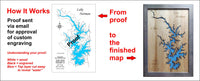
**Please note: Actual layout may vary based on size. If you'd like to see a proof of the layout prior to production, let us know,


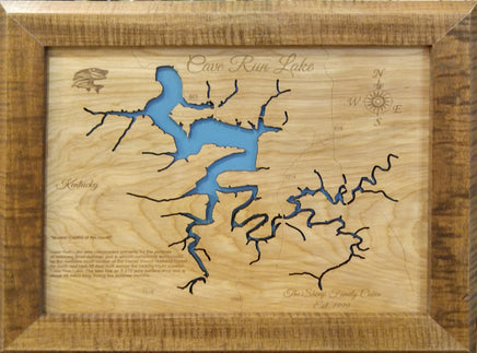
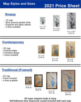
This is a beautiful, detailed, laser engraved and precision cut map, including lake information such as surface area, elevation and maximum depth.
Included With All Maps:
- Points of interest laser engraved into the map face
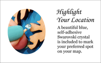
- A blue, self-adhesive Swarovski crystal to mark your preferred location on the map
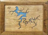
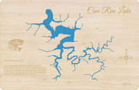
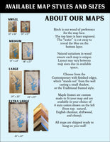
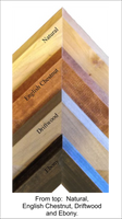
Our maps are made from beautiful birch plywood. Natural variances in the wood grain ensure a unique work of art. Once the map is cut, it is hand sanded multiple times, mounted on a blue board to highlight the water, and given a clear coat for a lustrous wood shine. Proudly made in the USA by American workers in an American owned business.
**Please note: Actual layout may vary based on size. If you'd like to see a proof of the layout prior to production, let us know,
Custom Engraving Available
Add up to 2 lines of custom engraving at no additional cost!
Standard Engraving:
"Muskie Capital of the South"
Cave Run Lake was constructed primarily for the purpose of reducing flood damage and is almost completely surrounded by the northern-most section of the Daniel Boone National Forest. An earth and rock-fill dam built across the Licking River created Cave Run Lake. The lake has an 8,270 acre surface area and is about 48 miles long during the summer months.