
Skip to product information
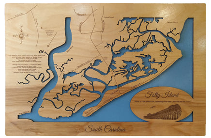

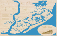
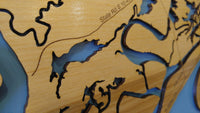
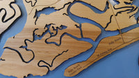
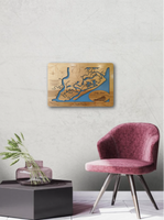


This is a beautiful, detailed, laser engraved and precision cut map, including lake information such as surface area, elevation and maximum depth.
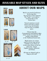
Included With All Maps:
- Points of interest laser engraved into the map face
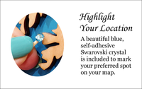
- A blue, self-adhesive Swarovski crystal to mark your preferred location on the map
Our maps are made from beautiful birch plywood. Natural variances in the wood grain ensure a unique work of art. Once the map is cut, it is hand sanded multiple times, mounted on a blue board to highlight the water, and given a clear coat for a lustrous wood shine. Proudly made in the USA by American workers in an American owned business.
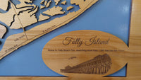
Custom Engraving Available
Add up to 2 lines of custom engraving at no additional cost!
Standard Engraving:
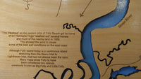
- Home to Folly Beach Pier, stretching more than 1,045 feet into the ocean.
- “The Washout” on the eastern side of Folly Beach got its name when Hurricane Hugo “washed out” several homes and much of the nearby land in 1989. This allowed the wind to create some of the best conditions on the east coast.
- Although Folly Island today is a continuous island stretching from the Stono Inlet to Lighthouse Inlet, that has not always been the case. Many maps show Folly to have been considered two islands, commonly known as Big Folly and Little Folly.